

Satopanth The Auli Resort sits in Lower Auli, near Joshimath, which makes it a practical base for the meadows above Auli, the temples around Joshimath and day trips along the Badrinath road. Distances below are approximate road or trail distances from the resort, and timings change with season and road conditions, so please check with our 24-hour travel desk before you set out.
The 4 km Joshimath–Auli ropeway has been closed since January 2023, after land subsidence in Joshimath. There is no confirmed reopening date, so the Auli slopes are currently reached by road. Our travel desk can arrange a taxi and will share the latest status before you travel.

Built near the top of the Auli ski slope to feed the snow-making machines, this is often described as one of the highest man-made lakes in the world. On a still morning the water reflects the surrounding snow peaks, and in winter the slope beside it is used for skiing.

An open alpine meadow above Auli at a little over 3,000 m, reached by a short, steady walk through oak and conifer forest. It is green with wildflowers after the snow melts and white through winter, with wide views of Nanda Devi, Trishul and Dronagiri on clear days.
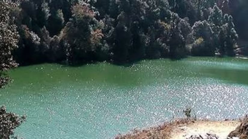
A small, clear lake set in the forest a short way beyond Gurso Bugyal. Most visitors combine the two in a half-day walk; go in the morning, when the light on the water is best and the trail is quiet.
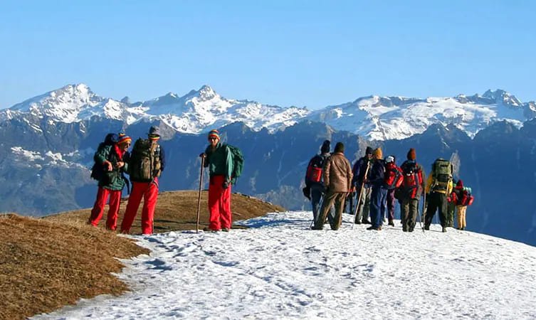
A high meadow at around 3,300 m that is usually done as an overnight camping trek from the Auli side. It is best from late spring to early autumn and is snowbound in winter, so treks here need a guide and some fitness.
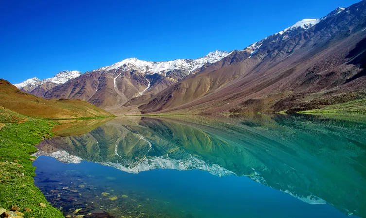
A remote lake with no motorable road, reached on foot through villages and forest. It sees few visitors, which is its appeal; plan it between May and October and go with someone who knows the trail.
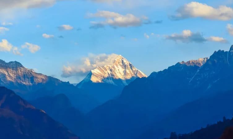
At 7,816 m, Nanda Devi is the highest peak entirely within India and the second-highest in the country. Its name is usually translated as the bliss-giving goddess, and it is the most recognisable summit on the Auli skyline.
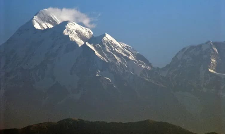
A massif of three summits, the highest just over 7,100 m, named after the trident of Lord Shiva. It is a serious mountaineering peak rather than a sightseeing spot, best seen at sunrise from the slopes or from Gurso Bugyal.
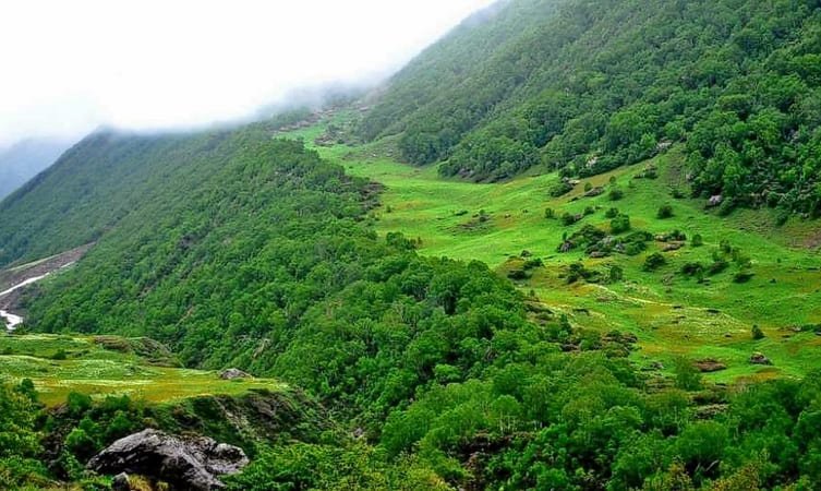
Together with the Valley of Flowers, this protected area of about 630 sq km is a UNESCO World Heritage Site. Entry to the core zone is restricted, but the park's buffer area and nearby treks give a sense of its forests, glaciers and wildlife.

Joshimath, also known as Jyotirmath, is home to one of the four mathas established by Adi Shankaracharya. It is the main town for supplies and transport, and the gateway to Badrinath, Hemkund Sahib and the Valley of Flowers.
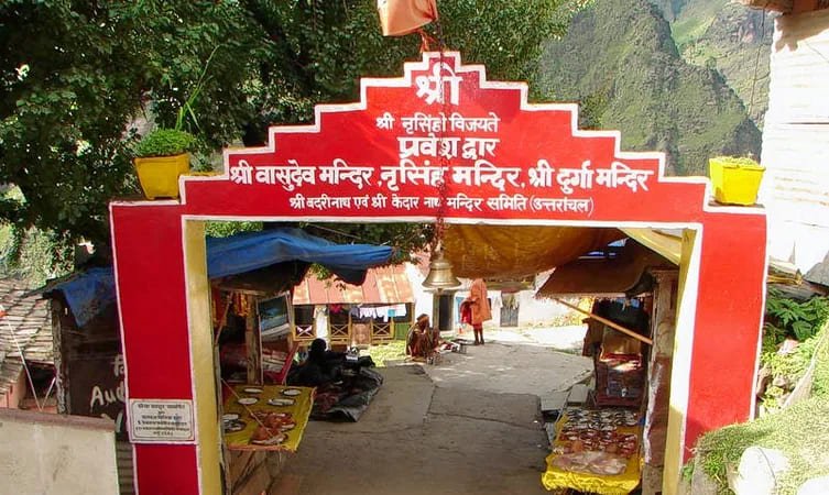
This temple is dedicated to Lord Narasimha, the half-man, half-lion fourth avatar of Lord Vishnu. It is one of the most visited shrines in Joshimath, and many pilgrims stop here on their way to or from Badrinath.
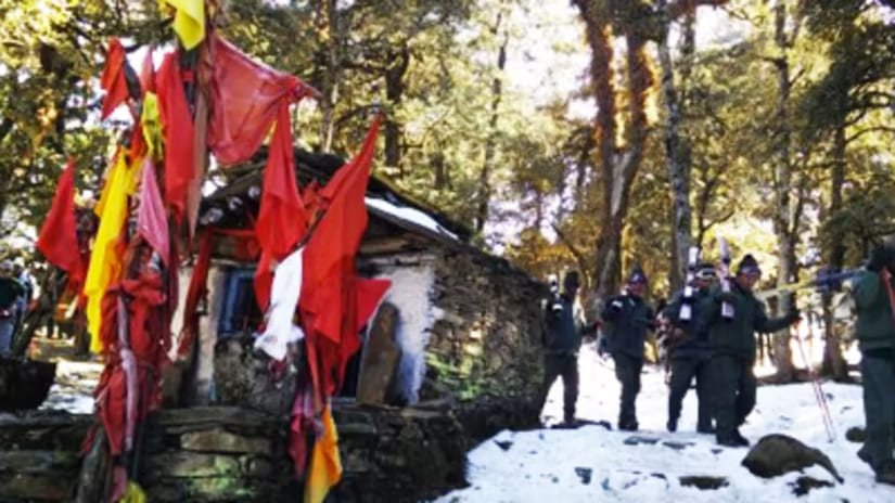
On the road from Joshimath towards Malari, the villages around Tapovan have natural hot springs and small temples. It makes an easy half-day drive, and the valley views along the Dhauliganga are a bonus.
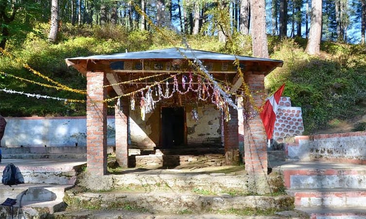
One of the Panch Badri temples of Lord Vishnu, set in a quiet village at about 2,700 m and reached by a short walk from the road. Combine it with Tapovan for a full day out.
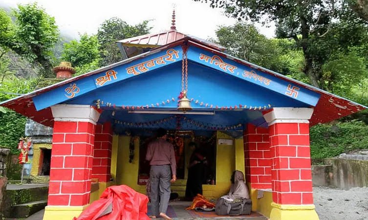
Another of the Panch Badri temples, in Animath village below Joshimath. Local tradition holds that Lord Vishnu appeared here as an old sage, which gives the temple its name.
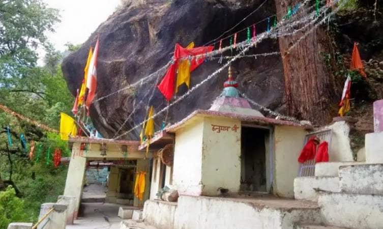
Kalpeshwar is the fifth of the Panch Kedar temples of Lord Shiva and, unusually, stays open through the year. It sits in the green Urgam Valley at about 2,200 m, which also has terraced fields, small villages and the Dhyan Badri temple.
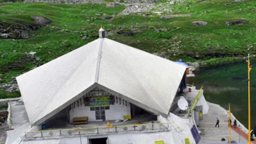
The Gurudwara stands at about 4,329 m beside a glacial lake ringed by seven peaks, and is associated with Guru Gobind Singh Ji's meditation in his previous life. The trail climbs from Govindghat via Ghangaria and is open only in the summer months, roughly June to October.
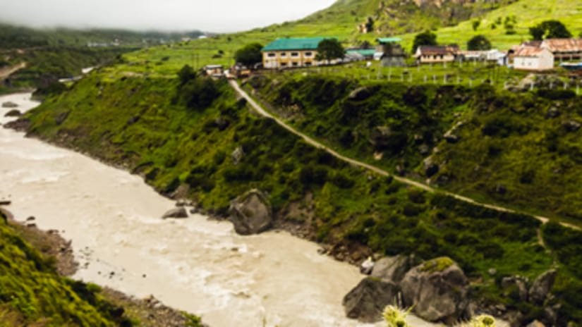
Badrinath, one of the Char Dham, is the temple of Lord Badrinarayan (Vishnu), with the Tapt Kund hot spring just below it. Three kilometres further, Mana village is signposted as the first village of India and has Vyas Gufa, Ganesh Gufa and Bheem Pul over the Saraswati river. The temple opens from around April–May to October–November.
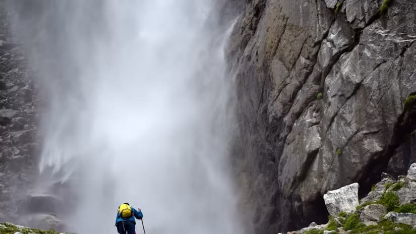
A tall waterfall that drops off a sheer cliff into the upper Alaknanda valley, reached by a walk of a few kilometres from Mana. The trail is at high altitude, so take it slowly and carry water.
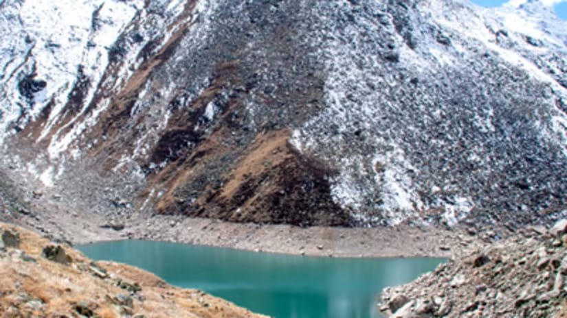
A glacial lake at about 4,600 m, held sacred because Brahma, Vishnu and Mahesh are believed to stand at its three corners. It is a demanding high-altitude trek that needs a permit, a guide and proper acclimatisation.
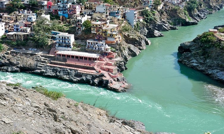
The confluence of the Alaknanda and the Mandakini, and the point where the road to Kedarnath turns off. It is also known from Jim Corbett's account of the man-eating leopard of Rudraprayag, which he shot in 1926.
The confluence of the Alaknanda and the Nandakini, one of the five sacred prayags of the Alaknanda. It is a pleasant place to break the long drive, with ghats and small temples by the river.
